Maps e Geo
Porto Pino: paradise in a circle
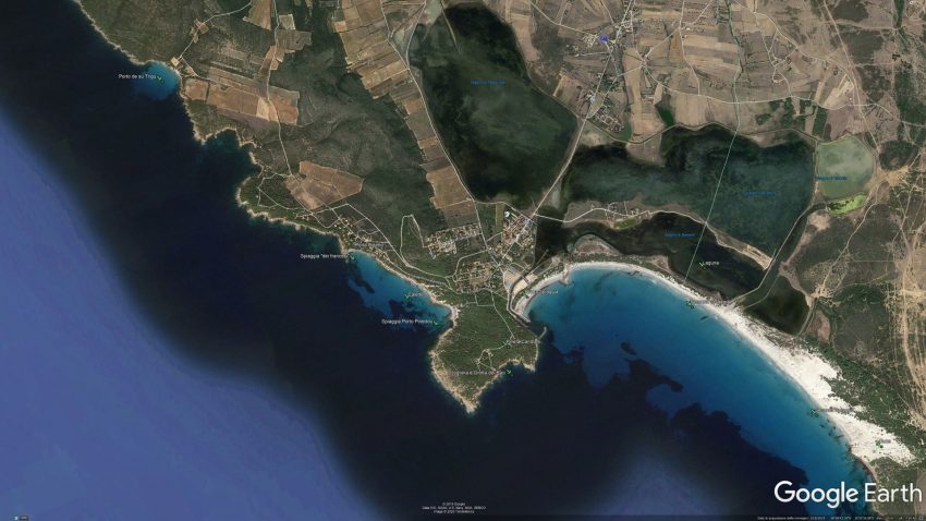
Geographical map of the Porto Pino area
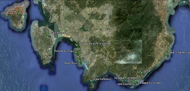
Geographical map of the surroundings of Porto Pino
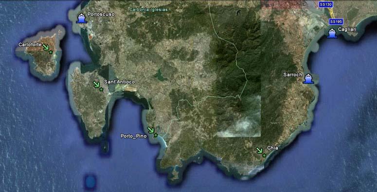
Map of South-West Sardinia - Porto Pino a perfect eco-environment
The small paradise of Porto Pino remains almost perfect from the point of view of the environmental ecosystem because it is practically uncontaminated by the most well-known forms of pollution. The first industrial presences are over 70km away. In the Gulf of Palmas there are no significant drains or rivers and in any case it is a sparsely populated area. The whole district east of Porto Pino is a military zone for almost 600kmq free of drains. The whole mountainous region north-east of Porto Pino enclosed between Teulada, Chia, Sarroch, Capoterra, Siliqua and Santadi is the largest green area in Europe without homes; a densely dense forest that represents an extraordinary lung. Note that the beach of Porto Pino is so wide and white sand that it is the first observable at the level of the satellite shot in the image above.